Mapping, GIS, and ecological landscape analyses
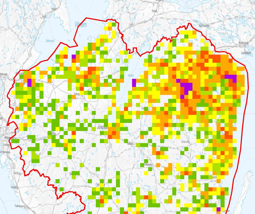
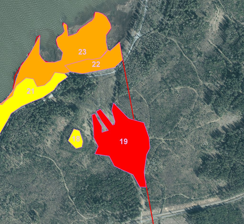
In all surveys, the presentation of the results on a map is of utmost importance. GIS is an important tool in this work and in all contemporary nature conservation work. Pro Natura works with ArcGIS and QGIS. We use it as a tool for analysis and for aerial photograph interpretation.
Organisms do not live in isolated islands. They depend on physical and biological conditions at different spatial scales for their survival. They are for example dependent upon the availability of suitable habitat and are affected by predation pressure.
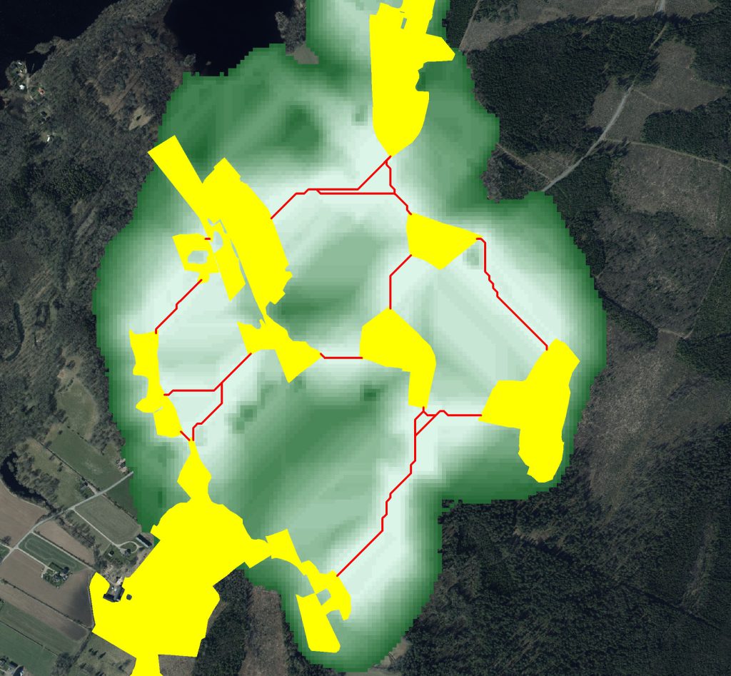
We carry out different types of analyses to assess the ecological functionality of a landscape for species and species groups. A few examples of those we perform include density analyses of species and habitats, connectivity, and threshold analyses.
In the work with ecological landscape analyses, we also perform database work in different environments. This is often necessary as environmental data, is often spread widely and in a variety of different formats.


